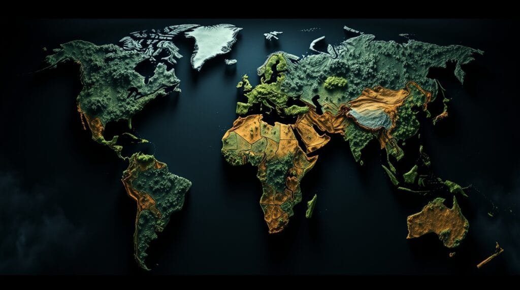
If you’ve ever used Google Maps to navigate through traffic, checked the weather forecast on your phone, or seen a drone-captured map of a disaster-stricken area, you’ve interacted with geospatial data. Now, imagine supercharging all that data with artificial intelligence (AI). That’s exactly what GeoAI (Geospatial Artificial Intelligence) is doing—revolutionizing the way we analyze and use location-based data.
From optimizing urban planning to predicting climate changes, GeoAI is redefining industries that rely on maps, satellite imagery, and GPS data. Let’s dive into what GeoAI is, why it matters, and how it’s transforming our world.

What Is GeoAI?
GeoAI is the fusion of geospatial data (maps, satellite images, GPS coordinates) with AI techniques like machine learning, deep learning, and computer vision. This combination allows machines to recognize patterns, detect anomalies, and make predictions in ways that were once impossible.
At its core, GeoAI can:
✅ Process massive amounts of satellite imagery in real-time
✅ Identify patterns in geographic and environmental changes
✅ Improve decision-making in fields like urban planning, agriculture, and disaster management
✅ Automate map-making and update outdated geospatial information
With AI-powered algorithms, GeoAI can turn raw spatial data into actionable insights, helping industries make smarter, data-driven decisions.
How GeoAI Is Transforming Industries
1. Smart Cities & Urban Planning
Cities are getting smarter, thanks to AI-powered geospatial analysis. By analyzing real-time traffic patterns, public transport usage, and even air pollution levels, city planners can design more efficient, livable urban spaces.
For instance, AI-driven models can predict traffic congestion and help implement better road networks, or identify areas prone to flooding so cities can build better drainage systems. The result? Safer, more efficient, and environmentally friendly cities.
2. Disaster Management & Humanitarian Aid
When natural disasters strike, time is critical. GeoAI is helping emergency responders act faster and more effectively by analyzing real-time satellite and drone imagery.
- After earthquakes, AI can scan damaged areas to identify the hardest-hit regions for quicker rescue operations.
- During wildfires, machine learning models can predict fire spread patterns, allowing authorities to take proactive measures.
- In flood-prone areas, AI can analyze historical data to develop early warning systems, saving lives and reducing damage.
With GeoAI, disaster response is no longer just reactive—it’s proactive.
3. Agriculture & Precision Farming
Farming has gone high-tech, and GeoAI is at the heart of it. With AI-powered geospatial analysis, farmers can:
- Monitor crop health using satellite images
- Detect drought conditions and water stress
- Optimize irrigation and reduce resource waste
- Predict pest infestations before they become a problem
This data-driven approach, known as precision agriculture, is helping farmers produce more food while using fewer resources—critical in an era of climate change and growing populations.

4. Environmental Monitoring & Climate Change Analysis
GeoAI is also playing a crucial role in tracking climate change. By analyzing geospatial data, AI can:
- Monitor deforestation rates and illegal logging
- Track glacial melting and sea-level rise
- Predict extreme weather events based on historical patterns
- Assess air and water pollution levels in urban and rural areas
These insights help scientists, policymakers, and environmental organizations take action before small problems become global crises.
5. Defense & National Security
Governments and defense agencies are leveraging GeoAI for border surveillance, threat detection, and strategic planning. AI can analyze satellite imagery to detect suspicious activities, track military movements, and even predict potential geopolitical conflicts.
For example, AI-powered surveillance systems can identify unusual activities near borders or critical infrastructures, enhancing national security without heavy reliance on human monitoring.
The Future of GeoAI: Where Are We Headed?
GeoAI is just getting started. As AI models become more sophisticated and satellite imagery becomes even higher in resolution, we can expect even greater breakthroughs.
🔹 Autonomous Vehicles: AI-powered geospatial analysis will help self-driving cars navigate complex environments safely.
🔹 Real-Time Climate Modeling: More accurate climate predictions will enable better disaster preparedness.
🔹 AI-Driven Smart Infrastructure: GeoAI will help design sustainable, eco-friendly urban spaces.
🔹 Space Exploration: AI is already being used to analyze satellite data from Mars—expect even more advancements in planetary mapping.
Final Thoughts
GeoAI isn’t just a tech buzzword—it’s a game-changer. By merging AI with geospatial data, we’re unlocking a future where cities are smarter, disasters are preventable, agriculture is more efficient, and our planet is better protected. As AI and geospatial technologies continue to evolve, GeoAI will shape how we interact with our world—one map at a time.
So, next time you check your GPS or see a satellite image, remember: there’s a lot more going on behind the scenes than meets the eye.
What are your thoughts on GeoAI? Where do you see its biggest impact in the future? Let’s discuss in the comments! 🚀🌍