Skip to content
geodatainsights.com geodatainsights.com

GIS and Database Tutorials for Beginners

  • Our Services
  • Contact
  • facebook.com
  • twitter.com
  • t.me
  • instagram.com
  • youtube.com
Subscribe

geospatial

Home » geospatial
10 Best AI Tools for Geospatial Analysis in 2025
Posted inAI

10 Best AI Tools for Geospatial Analysis in 2025

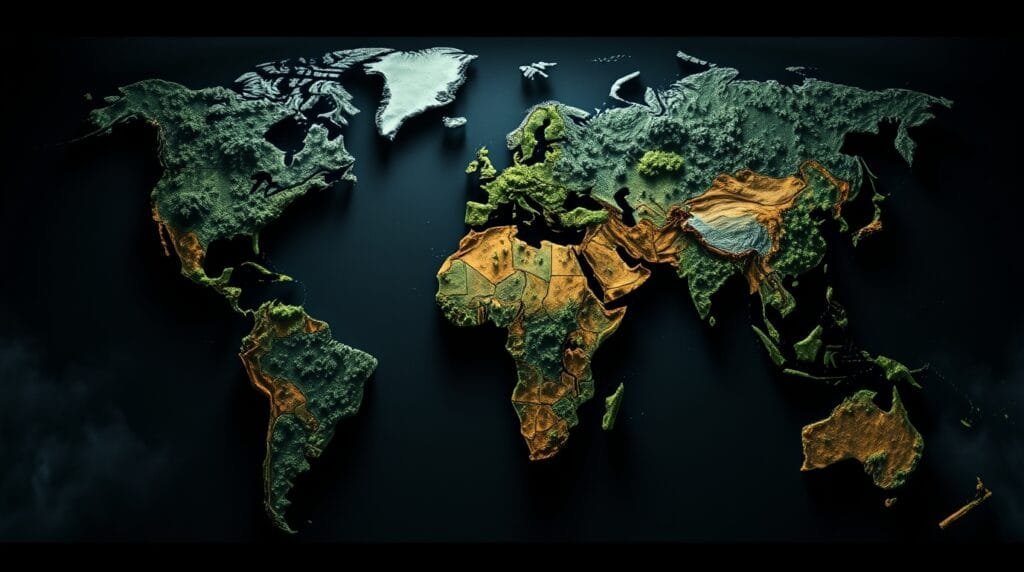
Geospatial analysis has transformed industries such as urban planning, agriculture, disaster response, and environmental monitoring. With the power of artificial intelligence (AI), geospatial tools have become more accurate, efficient, and…
Posted by geodatainsights.com November 1, 2025
The Rise of GeoAI: How AI Is Transforming Geospatial Data
Posted inAI

The Rise of GeoAI: How AI Is Transforming Geospatial Data

If you’ve ever used Google Maps to navigate through traffic, checked the weather forecast on your phone, or seen a drone-captured map of a disaster-stricken area, you’ve interacted with geospatial…
Posted by geodatainsights.com February 5, 2025

Recent Posts

  • Export Spatial Dataset to PostGIS Using QGIS
  • 10 Best AI Tools for Geospatial Analysis in 2025
  • How to Install PostGIS on Debian 13
  • How to Install PostgreSQL on Debian 13
  • Create MapInfo_Mapcatalog in Mapinfo Professional

Categories

  • AI
  • ArcGIS Pro
  • Article
  • Blog
  • Database
  • Linux
  • macOS
  • MapInfo Pro
  • Micromine
  • QGIS
  • Technology
Copyright 2025 — geodatainsights.com. All rights reserved. Bloghash WordPress Theme
Scroll to Top