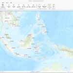
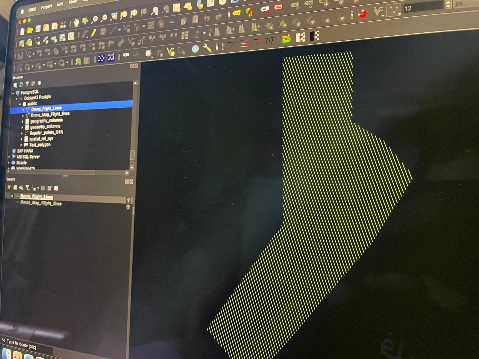
In the previous article, we learned how to install PostGIS on Debian 13. Now, we are going to try to use the PostGIS to store spatial datasets. We will use…
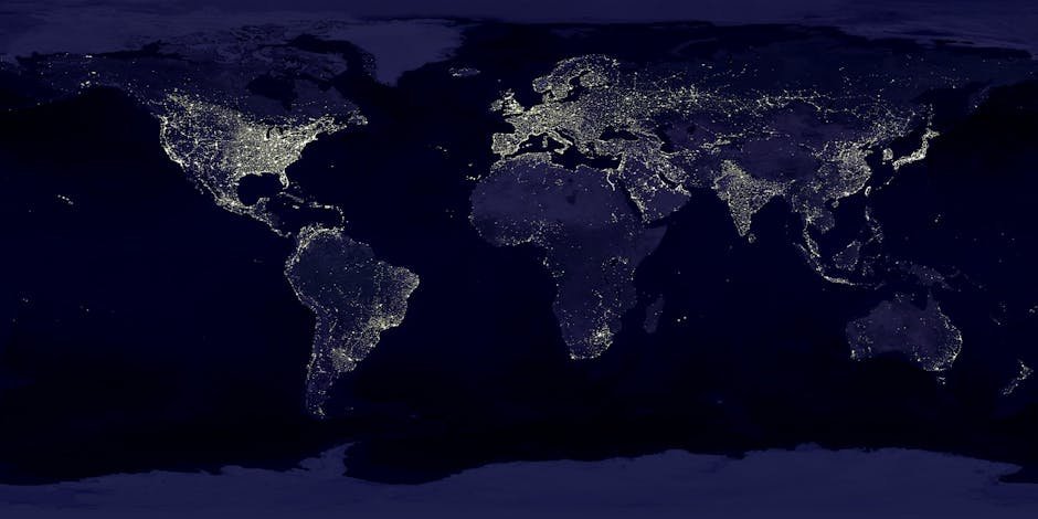
Geospatial analysis has transformed industries such as urban planning, agriculture, disaster response, and environmental monitoring. With the power of artificial intelligence (AI), geospatial tools have become more accurate, efficient, and…
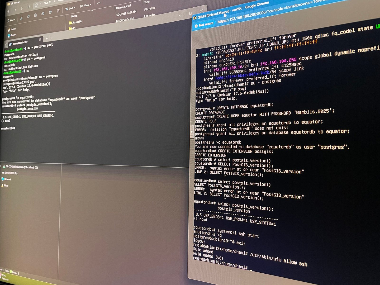
This short tutorial will guide you how to install PostGIS on Debian 13. If you need to store and manage location data in your PostgreSQL database on Debian Linux, you'll…
Looking to set up a powerful, free, and open-source database on your Debian server? PostgreSQL (often just called "Postgres") is a fantastic choice, known for its reliability, robust features, and…
MapInfo Professional can connect to various RDBMS and store the spatial data in the database. In order to enable this feature, we need to create Mapinfo_Mapcatalog in the database. The…
If you’ve ever used Google Maps to navigate through traffic, checked the weather forecast on your phone, or seen a drone-captured map of a disaster-stricken area, you’ve interacted with geospatial…
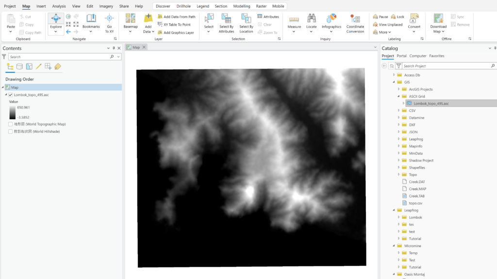
In this article, we will show you how to export raster to geodatabase(GDB). Raster, or images are common file format that you will likely use in GIS system. Georeferenced images…
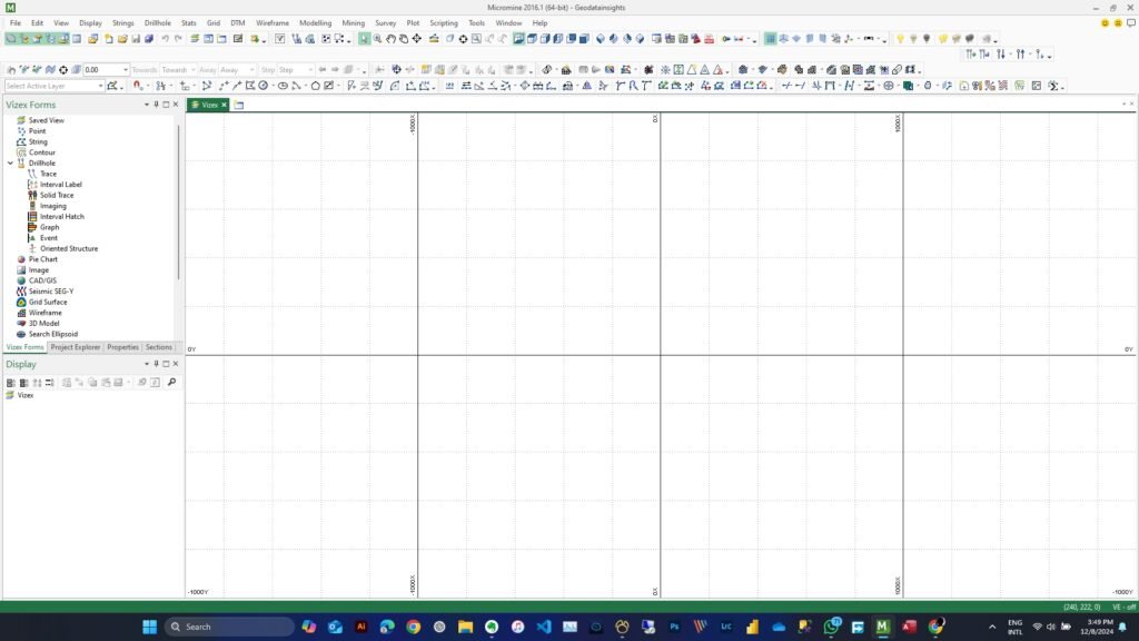
This is the first Micromine tutorial in this blog. I would like to share my experience when using various GIS and Database software. I am a GIS and Database specialist.…
ESRI Shapefiles is the popular GIS format that has been around for years. This file format has many limitations. For example, the column or field name is limited to 13…