In this article, we will show you how to export raster to geodatabase(GDB). Raster, or images are common file format that you will likely use in GIS system. Georeferenced images can be stored in different formats. For ArcGIS users, you have an option to store the raster in the geodatabase. Well, it might not be the best practice because storing a lot of raster inside a geodatabase will grow the GDB quickly.
Steps to Export Raster to Geodatabase in ArcGIS Pro
There are several ways to export raster to GDB in ArcGIS Pro. The following steps may require a special license. Please check if you have the appropriate license.
Step 1. Open the raster
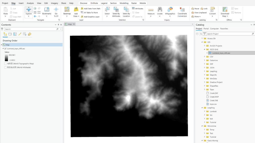
In this example, we have a Topo grid file. We will export this file into Geodatabase.

Step 2. Export raster
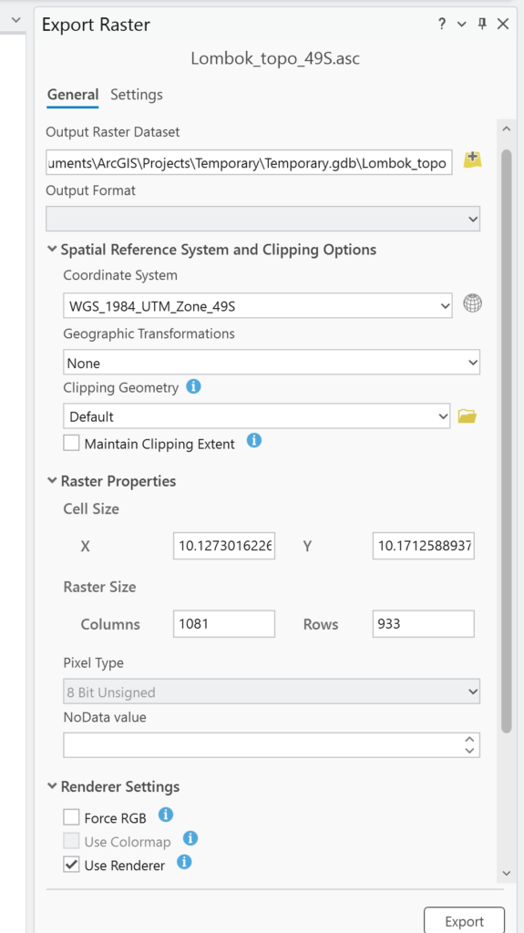
The easiest way to export raster to geodatabase is by right-clicking the raster layer and then choose Data | Export Raster. The Export Raster window will come up. We need to specify the output geodatabase and give it a new name.

Double-check the coordinate system and personally I would check the Use Renderer option. Click Export and wait until this export completed.

